
Coming soon
ScopeMatrix
Project progress
A cockpit that tracks the progress of the whole undertaking.
Layer 4 of the application stack
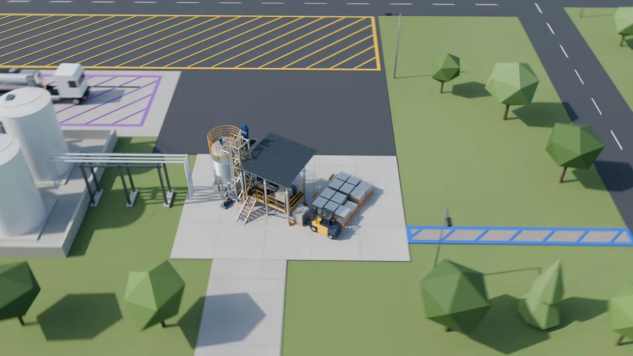
The unit in its site
Georeferenced OpenBIM: terrain from public geospatial data, roads and buildings, IFC and 3D tiles, all the way to the site plan.
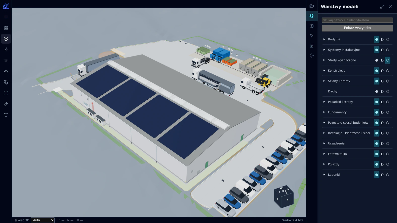
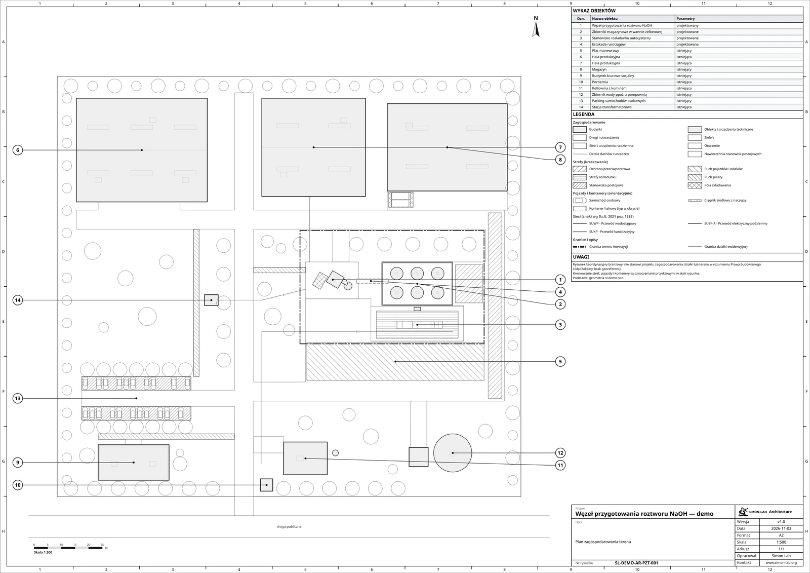
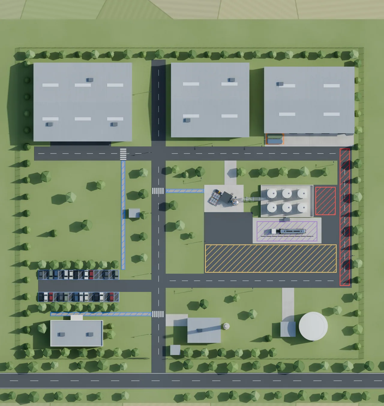
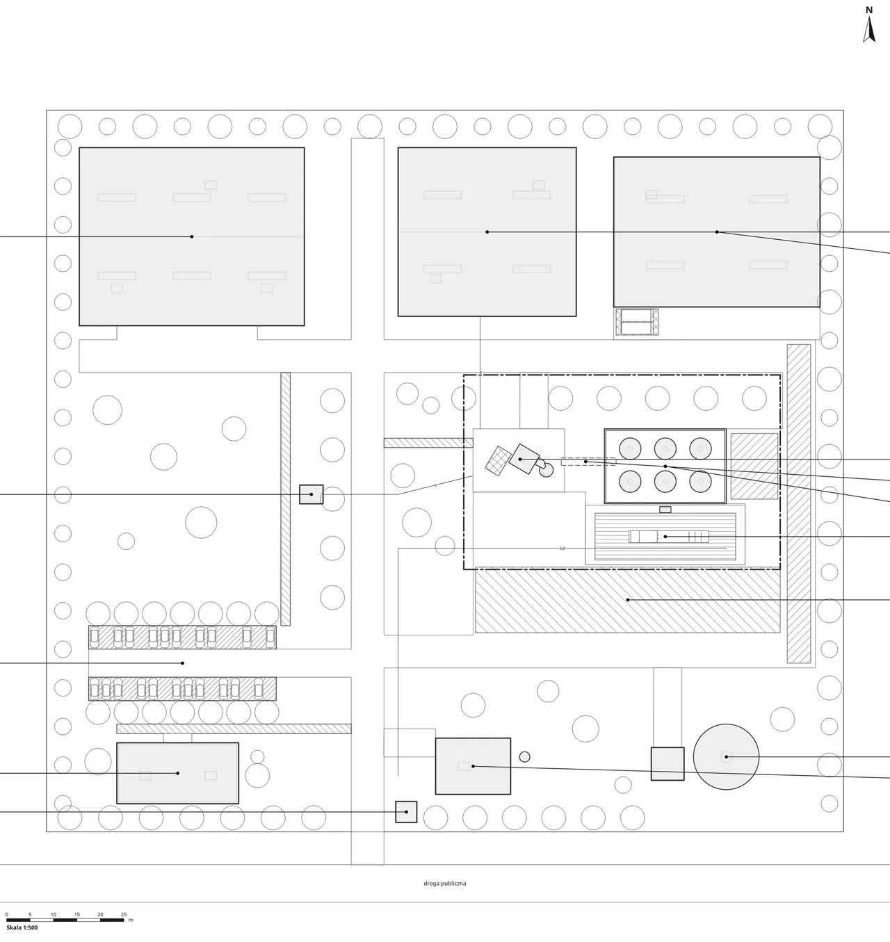
Architecture places the unit in the plant that will host it. Terrain comes from public geospatial data, existing roads and buildings are modelled around it, and the result is exchanged as IFC and 3D tiles.
The site plan is drawn by the platform’s own renderer from the same model, with hatched traffic and storage zones and the underground networks, so the drawing and the 3D scene cannot drift apart.
Project progress
A cockpit that tracks the progress of the whole undertaking.
Laboratory procedures
A register of laboratory procedures and quality control.
Funding applications and pitch decks
A builder of funding applications and pitch decks, fed by the project’s data: built on well-designed foundations, transparent to funders and auditable by AI.
Supplier communication and purchasing
Automates communication with suppliers: prepares the emails and tracks quotations, purchases and deliveries.
Permits and legal documentation
Drafts permit applications and legal documentation such as environmental and building permits (drafts, not filings), tracks the legal state and its impact on the project, and keeps the schedule in line with administrative procedures.